

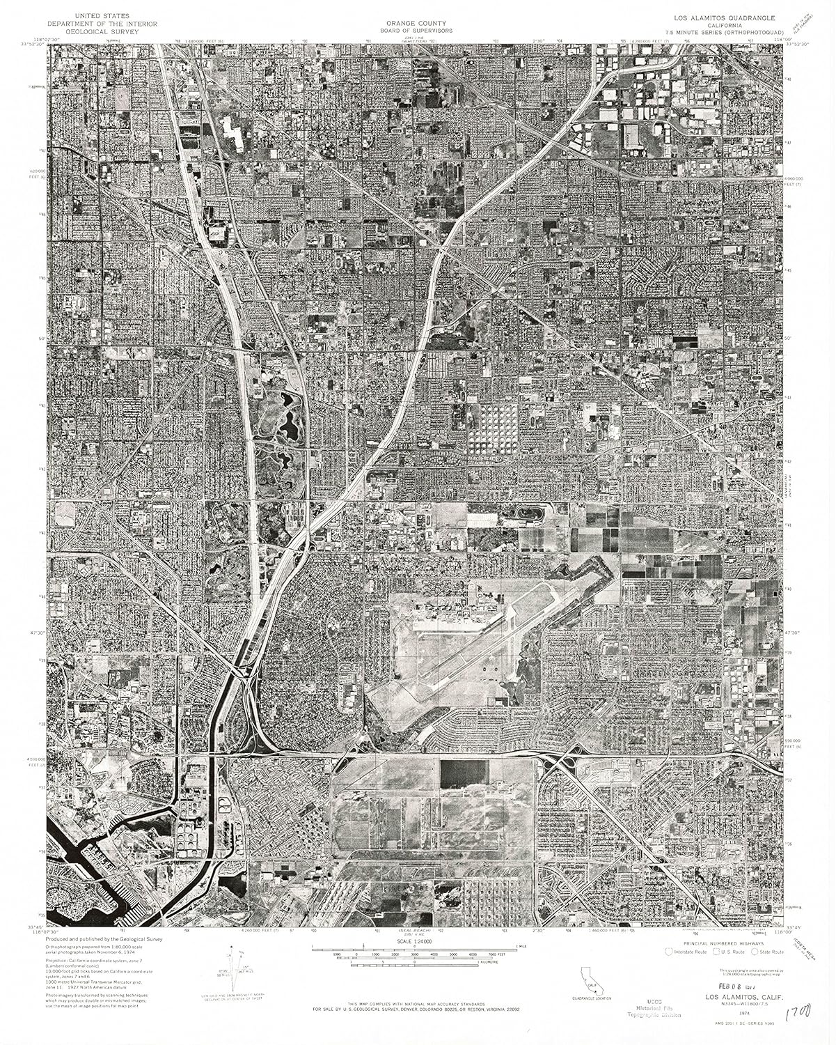
Epes East AL topo map, 1:24000 Scale, 7.5 X 7.5 Minute, Historical, 1974, Updated 1987, 26.9 x 21.9 in - Paper
$49.95
Price when purchased online
Free shipping
Free 30-day returns
Sold and shipped by aircoservices.in
We aim to show you accurate product information. Manufacturers, suppliers and others provide what you see here.
$49.95
Price when purchased online
Free shipping
Free 30-day returns
Sold and shipped by aircoservices.in
Free 30-day returns Details
Product details
| Management number | 218343893 | Release Date | 2026/05/03 | List Price | $19.98 | Model Number | 218343893 | ||
|---|---|---|---|---|---|---|---|---|---|
| Category | |||||||||
Printed on Regular Paper
- Printed on Regular Paper (32lb)
- USGS topographic map of Epes East, AL, at 1:24000 scale. High-quality paper print. Perfect for wall maps.
- Cities, towns, villages: Miller,Fowler
- Rivers, creeks: Gum Pond Slough,Factory Creek,Jones Creek,Smith Branch,Boligee Creek,Toms Creek,Martins Creek,Camp Spring Branch,Valley Branch,Shed Branch,Morgan Creek,Taylor Creek
- Lakes: Consult topo map preview for bodies of fresh water.
| Color | Regular Paper |
|---|---|
| Brand Name | YellowMaps |
| Item Weight | 57 Grams |
| Part Number | USGS-5538861-PAPER |
| Manufacturer | USGS |
Bestseller ranking
Topographic Maps


Customers who viewed this product also viewed
Liners


Correction of product information
If you notice any omissions or errors in the product information on this page, please use the correction request form below.
Correction Request Form